Mapbender
Made-to-measure WebGIS solutions
A professional, open source software solution for creating map-based applications.
Download Mapbender
Mapbender
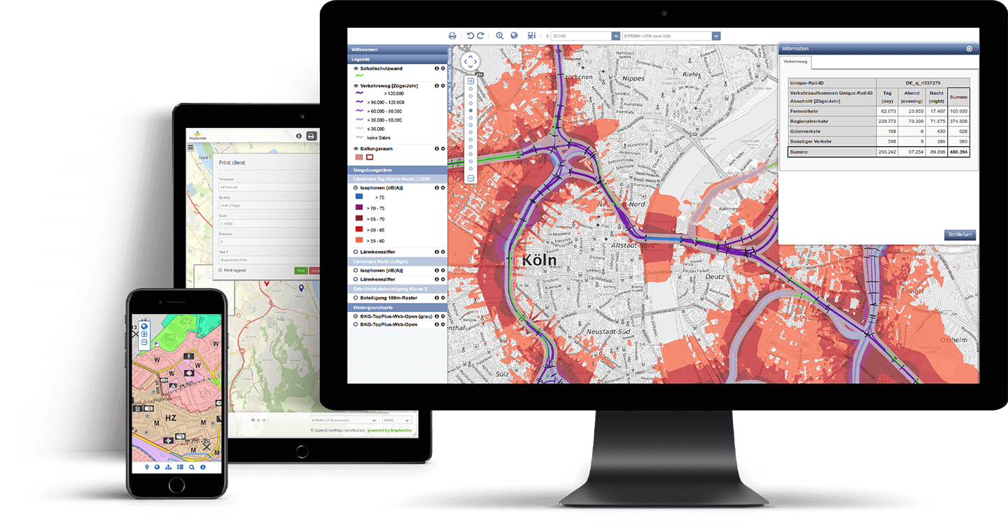
is flexible
A level of flexibility that can be deployed worldwide.
See examples
Mapbender
is open
Open source standards, independence, adaptability and a wealth of other advantages.
Try out a demo